
Extensive experience in the production of topographical surveys for sites of all sizes and type. We work with our clients to adjust the survey specification to their exact requirements, ensuring that all necessary data is provided.
Leica Robotic Total Stations & GPS Rovers – All surveys related to OS grid and datum.
Surveys are produced using LSS digital terrain modelling software and final drawings are issued as CAD files with 3D facet or point/string information. We take pride in the presentation of our survey data and our drawings are always detailed, clear and accurate.
Please get in touch with your survey requirements, we look forward to working with you.
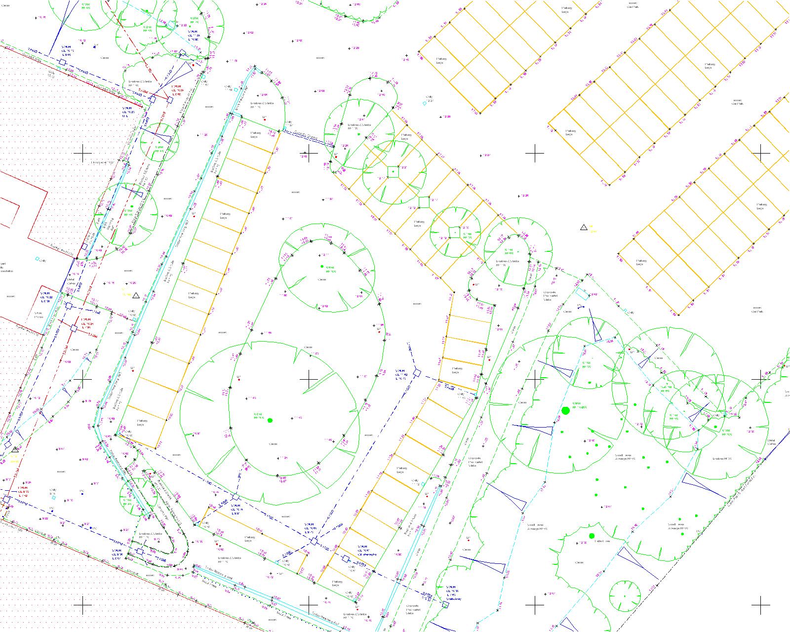
Example topo survey drawing by BM Land Surveys
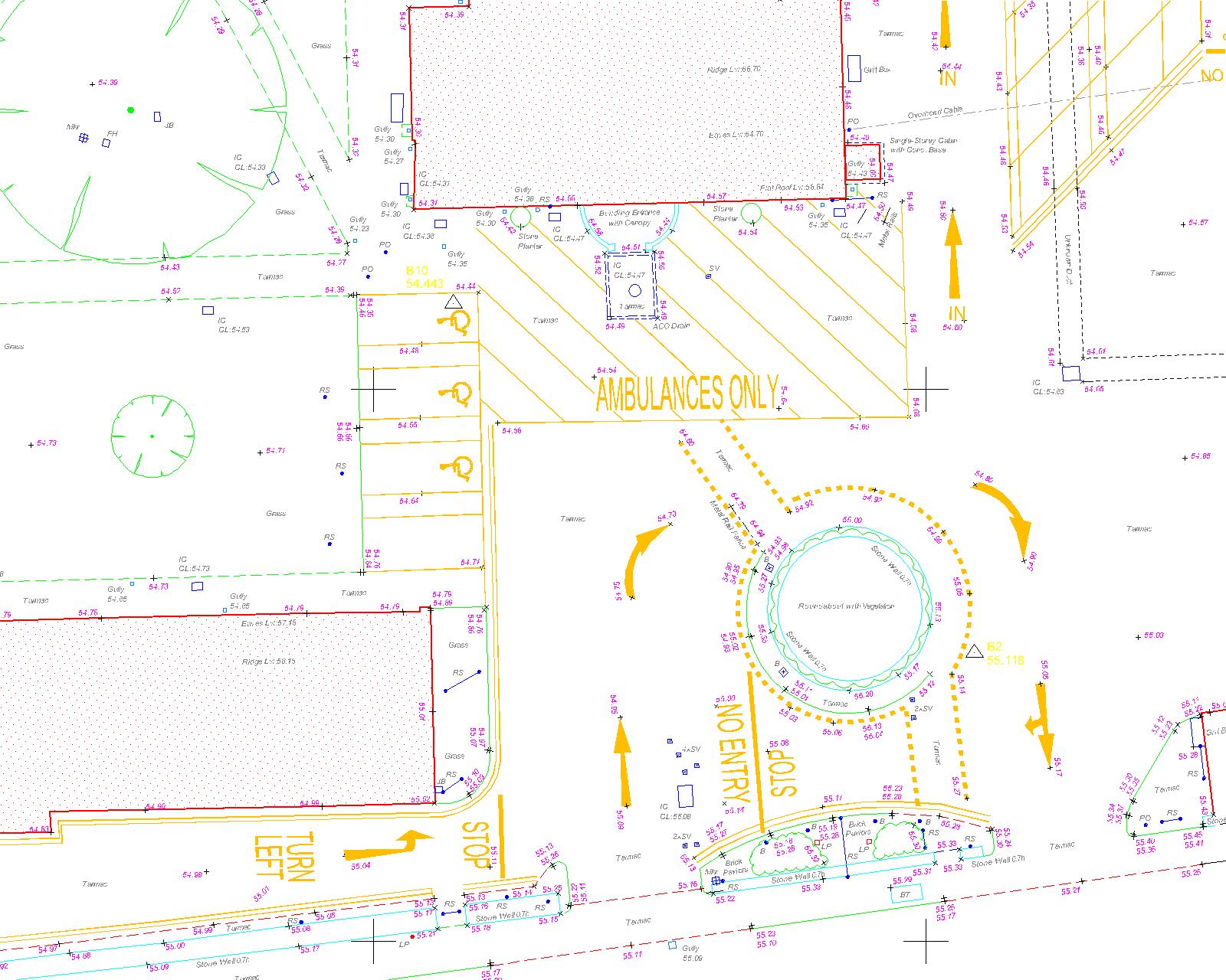
Example topo survey drawing by BM Land Surveys
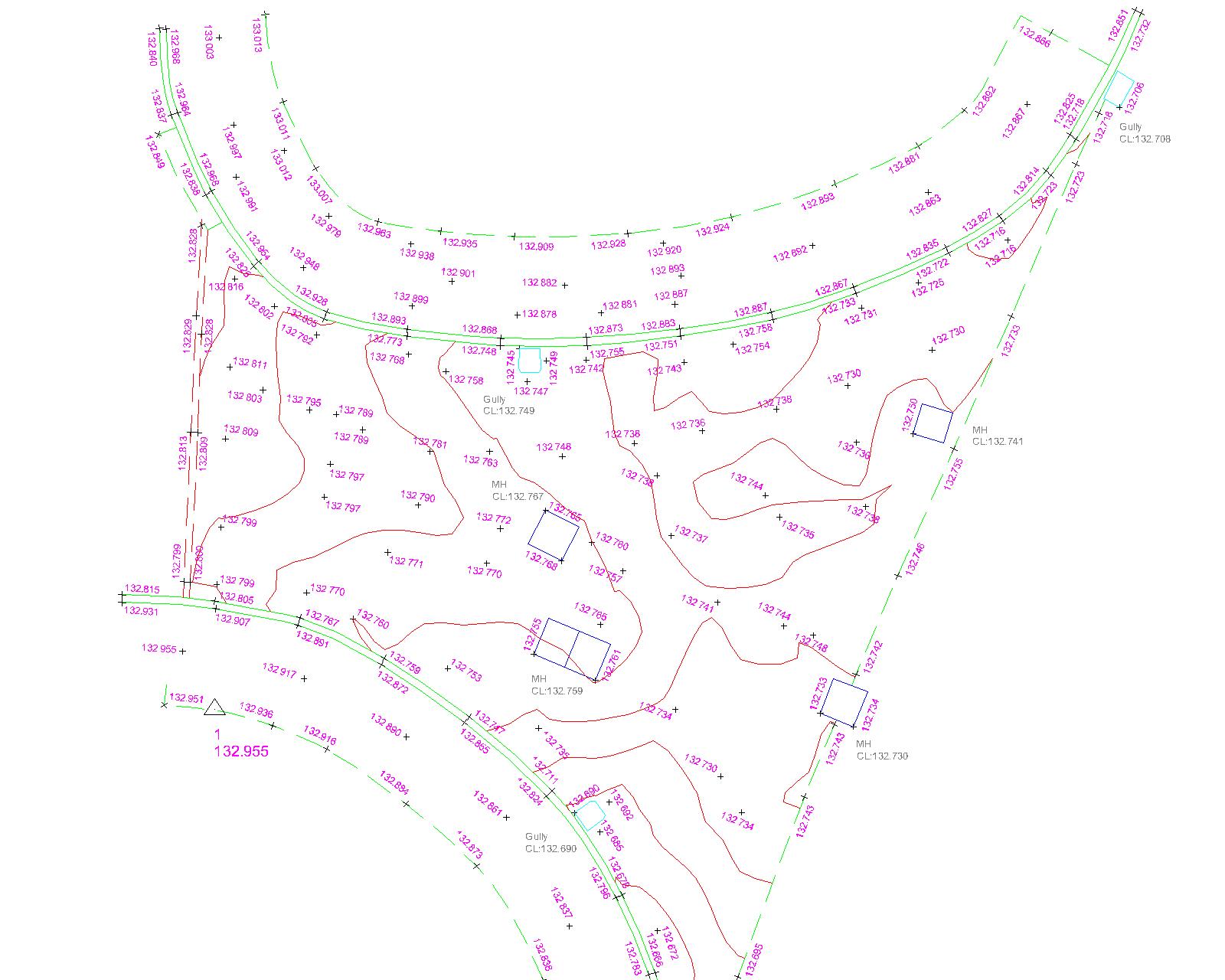
Example ponding survey drawing by BM Land Surveys